There was a good crack of thunder and rain overnight. We woke early to an overcast sky wondering which forecast would turn out to be correct. After an early breakfast we managed to get away just after 8am, and headed out of one of the old city gates towards the lake we’d seen from the ramparts yesterday.

Langres isn’t very big, and within about 20 minutes we were out into farmland. At the bottom of the valley we crossed the Marne, which is very small here – no semblance of the mighty river we’d seen further north.

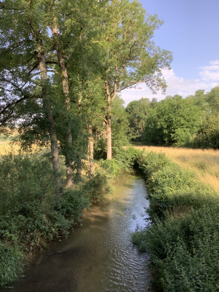
To get to the lake we were aiming for we then took a tree-lined path alongside the canal between Champagne and Bourgogne which looked little used, except possibly by fishermen, as it was full of weed.

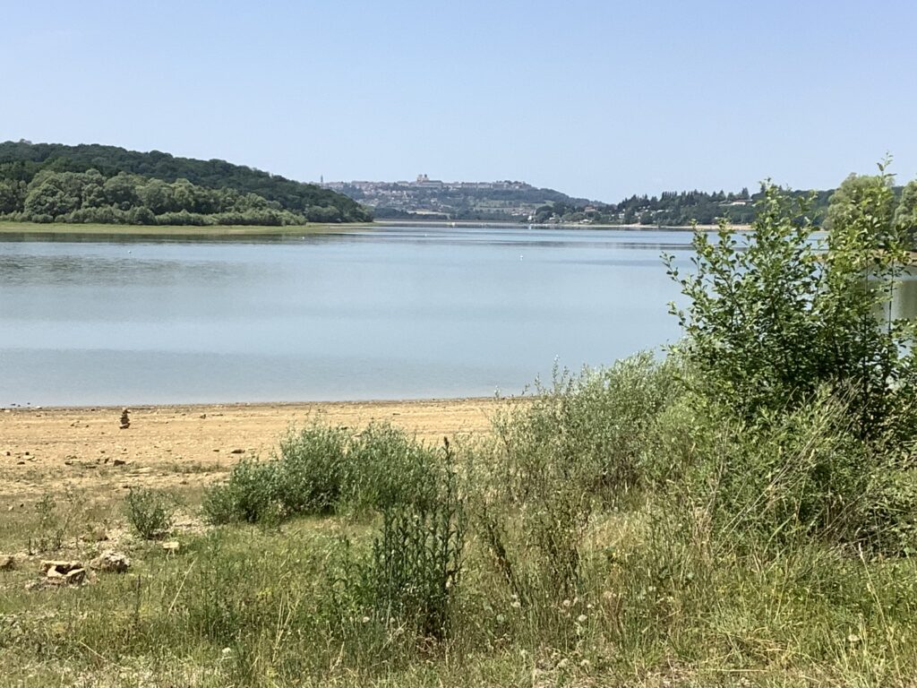
The official VF route goes around the longer eastern side of Lac Liez, so that was the way we went – after a bit of a debate! Fortunately much of the path was shaded by trees, giving us occasional glimpses of the lake, views back to Langres, and the various sporting activities going on, all carefully separated into zones to prevent accidents.


By lunchtime the sky was looking quite thundery and the sun had gone hazy. As we sat beside the lake in the shade we kept feeling small spits of water, and wondered if we were about to get thoroughly soaked. Instead, the sky cleared and we had full sun again for the afternoon.
After lunch we were further away from the lake, though still skirting southwards around it, with rolling pasture and occasional small herds of cattle to our left and dense woodland providing intermittent, but most welcome, shade to our right.

In the village of Chatenay-Vaudin we found the church closed, but a handy cold water tap outside the gate. We’ve been carrying 2 litres of water, and drinking about 4 litres per day during this hot weather, so finding churchyard taps has been vital to avoid chronic dehydration.

On leaving the village we had another choice of route to make: either the more direct road slog, or a longer route by paths over a plateau. Again, we opted for the longer route and were rewarded by our last view back to Langres, now in the far distance, and the occasional tree giving shade across the path.

The area of the plateau is the triple watershed between rivers flowing to the Mediterranean, the Channel, and the North Sea.
So, we are now in the Mediterranean catchment – a significant milestone in our overall journey!

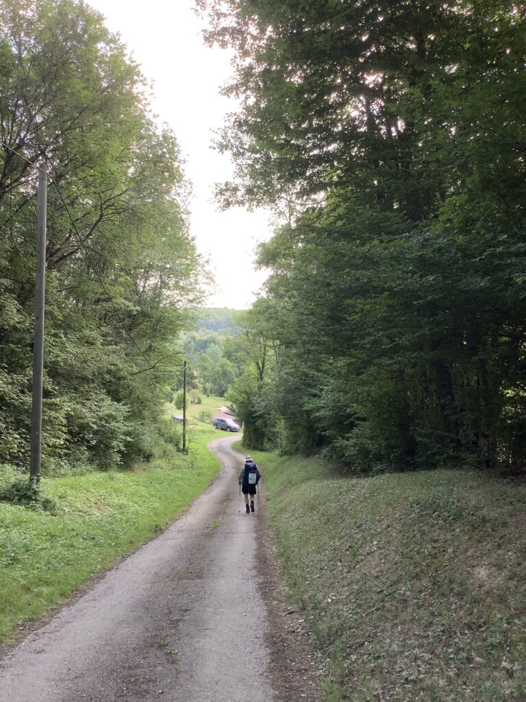
We couldn’t avoid some more road walking towards the end of the day, with about a kilometre along the N9, a very busy National road heavily used by lorries avoiding motorway tolls. They all hammer along at the maximum speed allowed, so we found ourselves keeping well back on the verges for safety whilst enjoying the cooling blast of air from each passing vehicle. With relief we turned off onto a minor road and soon after picked up our path through forest which was lovely and cool.

Apart from one section of uncleared scrub which we had to push and slash our way through, the forest path was good and well marked. After a steep descent into Culmont, we walked up the road through the village to find our chambre d’hote on a farm.
Highlights of the day: lunch beside the lake and crossing the watershed – we are making progress, albeit slowly!